
Kids on a street corner in upstate New York stuck out their tongues to catch them, parents shuffled grocery bags, a bus driver joked about “real winter finally showing up”. Then phones started buzzing in pockets and on dashboards: a winter storm warning, upgraded to a rare blizzard alert, with up to 55 inches of snow possible in a very short stretch of time. Forecast maps bled deep purple over highways and rail corridors. Meteorologists didn’t just say “heavy snow”. They used phrases like “paralyzing accumulation” and “near-zero visibility”. Traffic reporters spoke quietly, like it was breaking news from a war zone. One phrase, repeated on local TV, cut through the static: the system might be overwhelmed.
“It went from normal to impossible in less than an hour”
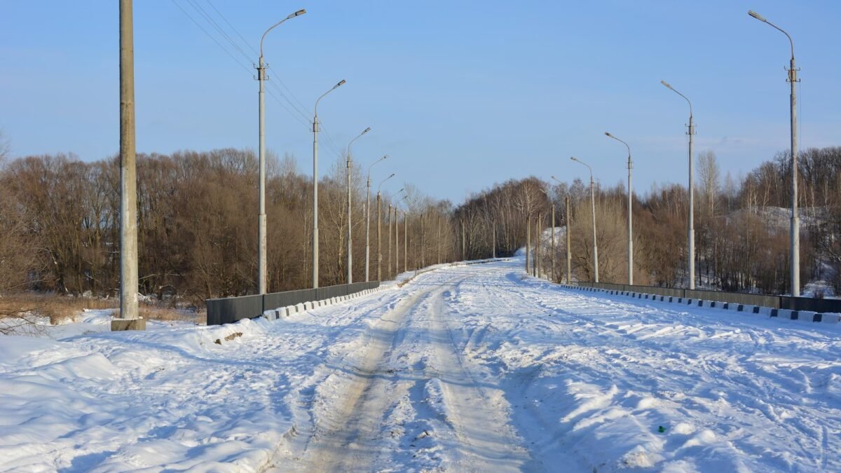
The change never feels sudden until it is. At 3 p.m., car tires still hummed on wet asphalt, commuters watched tail lights and scrolled on their phones at red lights. By 4 p.m., those same roads were turning into white tunnels. Plows that had just finished a pass found their tracks gone, swallowed by drift after drift. Drivers gripped their steering wheels as the horizon vanished, the world shrinking to a shaky pair of headlights in the mirror. What looked like an ordinary winter afternoon had become a slow-motion trap.
Weather experts say this is exactly what scares them about this storm. Forecast models show narrow bands dumping snow at absurd rates — three, even four inches an hour — right over key transportation routes. That 55-inch number isn’t spread gently over a week; it’s packed into a window so tight that plow schedules, salt depots and shift rotations start to look like wishful thinking. One meteorologist described it bluntly on local radio: “You run out of space to put the snow.” The math turns brutal very quickly.
We’ve seen what that looks like in real life. Buffalo’s 2014 “Snowvember” event buried parts of the city with nearly 7 feet of snow, trapping drivers on highways overnight and collapsing roofs. In 2022, another New York storm shut down the Thruway as snow bands parked over the same stretch for hours. Trains were stuck at platforms, not because rails broke, but because staff couldn’t even reach the stations. Truckers slept in cabs, nursing fuel to keep engines — and bodies — from freezing. Those scenes aren’t distant memories for local officials. They’re the template they’re desperately trying not to repeat.
The physics of an overwhelmed system
What makes this storm warning more chilling is the way different systems interlock — and then fail together. Road crews can cope with a lot, but when snow falls faster than plows can cycle, lanes narrow, then vanish. Once trucks can’t move, ambulances and buses fall in line behind them, or turn back. Rail networks depend on workers driving in, power staying on, switches not freezing under piles of snow. Air travel? It’s another domino. When forecasters talk about “overwhelming road and rail systems”, they’re not being dramatic. They’re describing a chain reaction where one clogged arterial route quietly disconnects a whole region from itself.
Why rapid accumulation is the real enemy
It isn’t just the total depth. It’s the speed of deposition. When snow piles up at rates that outpace machinery and manpower, the geometry of the landscape changes. Drifts seal off gateways; ice forms under fresh powder; plow berms build into impassable walls. In dense corridors, storage space for snow disappears. City streets narrow; cul-de-sacs become traps; highway shoulders vanish. Every inch per hour translates to more vehicles sliding, more call volume for dispatch, more stress on an already brittle grid.
The compounding effect on essential services
Transit agencies can keep trains moving if crews can reach the yard. Utility crews can restore power if trucks can navigate. Hospitals can accept patients if ambulances can navigate side streets. The moment mobility collapses, each of these systems begins to depend on the others while simultaneously losing the ability to support them. That is the definition of infrastructure strain: not a single failure, but a mutually reinforcing slowdown.
How to think — and act — when the snow doesn’t play fair
The most practical move happens before the first flake sticks. Local officials are urging residents to treat this warning as a timer, not a suggestion. That means filling prescriptions now, charging power banks, topping up fuel, checking windshield wipers and washer fluid while you can still see the hood of your car. If you rely on public transit, download offline maps, note alternative routes, and talk with your employer about remote work or flexible hours. The goal isn’t heroics. It’s reducing the number of people forced to move when the roads and rails can no longer cope.
Personal readiness checklist
For those who have to travel, the advice sounds simple and slightly annoying: cut the distance, slow the pace, shrink your expectations. Leave earlier than feels reasonable. Keep your car kit boring and practical — blanket, snacks, water, phone charger, small shovel, sand or kitty litter for traction. On trains, pack like you might face an unplanned delay: an extra layer, a battery pack, something to eat that isn’t from the vending machine. Soyons honnêtes : personne ne fait vraiment ça tous les jours. Yet during high-impact storms, these “extra” steps stop feeling like overreaction and start feeling like common sense.
Community resilience matters
On a human level, this kind of forecast creates a specific tension. People remember past storms that fizzled and feel foolish for having panicked. They also remember the ones that didn’t — the nights of stuck cars and missed calls. One emergency manager put it this way:
“If we do our jobs well, people will say we overreacted. I’m okay with that. The alternative is watching the same mistake on replay.”
That mindset also applies at home. A quick check-in with elderly neighbors, a ride offered to someone without a car, sharing real-time updates instead of rumors — these tiny gestures soften the edges of a brutal forecast.
Stories from the ground: when people become the network
What lingers after a storm like the one now on the radar isn’t just the snowbanks. It’s the stories told in break rooms and kitchens: the nurse who walked the last mile home because buses stopped running, the mechanic who slept on a shop couch after plows got pulled off the road, the train conductor who kept announcing updates to a car full of tired strangers, trying to sound calm. On a weather map, a 55-inch forecast is a color gradient. On the ground, it’s hundreds of thousands of decisions, large and small, threaded through a shared risk.
Accepting limits: physics over horsepower
We like to imagine we control winter by owning the right gear or driving a heavier vehicle. This kind of warning quietly pushes back on that idea. It reminds us that there are thresholds beyond which no amount of personal grit or horsepower changes the physics of ice, wind and visibility. The snow doesn’t care who has four-wheel drive. What matters is how early communities choose safety over convenience, how honest leaders are about worst-case scenarios, how quickly we accept that staying put can be an active choice, not a defeat.
The longer trend: preparing for a volatile future
There’s also a quieter question humming under all the radar loops and emergency alerts. Will we treat this storm as a fluke or as another data point in a pattern of more intense, more disruptive weather events? Climatologists warn that what used to be called “once-in-a-generation” is edging closer to “every decade” in some regions. That doesn’t mean every winter becomes an apocalypse of snow. It does mean that how we design roads, power lines, rail hubs — and the lives built around them — will keep getting tested. Sharing this forecast isn’t just about fear. It’s about widening the circle of people who get to decide how to respond.
Key Takeaways
- Speed of snowfall: Up to 3–4 inches per hour in some transport corridors means roads and rails can saturate quickly.
- Tight time window: The bulk of the 55-inch total is concentrated in a relatively short period, raising the real risk of paralysis.
- Personal preparation: Adjust travel plans, assemble a kit, and coordinate work or school options before conditions deteriorate.
- Community coordination: Check on neighbors and share verified updates to reduce avoidable trips and strain on services.


")