
On the screens at a quiet weather center on the US East Coast, a cluster of lines started to twist in ways the forecasters didn’t like. The polar vortex — that familiar winter villain — was doing something… off. Models that usually stroll along in neat, predictable patterns suddenly looked like threads pulled loose from a sweater.
One meteorologist zoomed in and frowned. Another refreshed the run, hoping it was a glitch. The data came back the same. Higher-than-usual wave activity. Sharp temperature gradients. A wobble growing at the edge of the stratospheric wind field. Someone muttered, “That can’t be right,” but no one laughed.
On the far side of the glass, the sky looked calm and ordinary. The kind of sky that lies.
The sky above the vortex is changing its rules
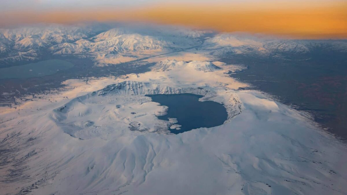
High above our heads, roughly 30 kilometers up, the polar vortex usually behaves like a stern but predictable teacher. It circles the Arctic, keeps the cold bottled up, and follows patterns scientists know by heart. This week, that teacher looks like it’s dropping the lesson plan and improvising.
Forecast models show a pocket of instability forming in the stratosphere, where winds can roar at more than 200 km/h. Instead of a neat circular band of cold air, the vortex is starting to stretch and bulge, like pizza dough in inexperienced hands. A strong pulse of energy from the lower atmosphere is pushing upward, rattling that delicate balance. On the maps, it looks beautiful — swirls of color, tight gradients, elegant curves. In the real world, it can mean weather that flips from boring to brutal in days.
Scientists are seeing values that sit at the edge of their historical archive, the kind they often file under “rare events we show in lectures but don’t see very often”. They’re watching temperature anomalies in the stratosphere creep toward thresholds that, in past decades, matched dramatic breakdowns of the vortex. In 2009, similar signals helped unleash weeks of Arctic air over Europe. In early 2021, a distorted vortex spilled deep cold into Texas, knocking out power and freezing pipes. The current models don’t promise a repeat of those specific disasters, yet they whisper the same uneasy story: the guardrails are flexing.
Instability in the polar vortex doesn’t translate neatly to a weather app forecast. There is no simple “vortex warning” icon. What scientists actually see is a chain reaction. Wave patterns from the Pacific and Eurasia shove into the upper atmosphere. That nudge weakens the vortex’s inner core, slowing winds that usually spin like a top. As the top wobbles, cold air trapped above the pole can split or sag southward, like an overfilled balloon.
That wobble then filters down over days and weeks, bending the paths of jet streams that steer storms. One region might get locked into unseasonable cold; another, far away, sits under stalled, soaking rains. The models this week suggest not just a wobble, but a tug toward the kinds of chaotic configurations scientists normally associate with rare, once-in-a-decade disruptions. They’re not saying “this will happen” — they’re saying “this can happen now more easily than we’re used to”.
How to live with a rare atmospheric event brewing overhead
If all this sounds like astrophysics for weather nerds, here’s the grounded part: you can turn a jittery forecast into practical choices. Start by shrinking your time horizon. Instead of worrying about the whole winter, watch the next 10 to 14 days with unusual attention. When model discussion mentions “increasing stratospheric uncertainty” or “enhanced high-latitude blocking,” translate that as: conditions are ripe for sudden flips.
Create a simple ritual around it. Pick one reliable national meteorological service and one independent severe-weather expert you trust. Check their updates twice a week, not 20 times a day. When they shift their language from “cooler” to “significantly colder” or from “wet” to “flooding risk,” that’s your cue: adjust travel, check your home, revisit your plans. It’s not about panic-prepping for the apocalypse; it’s about giving your future self a softer landing.
On a household level, resilience looks boring and extremely useful. Think in short, sharp bursts of preparation: 30 minutes to test flashlights and charge power banks. Another 30 to look at your attic or basement for spots that hate extreme cold or sudden thaw. A quick call to a neighbor who lives alone, not because you’re anxious, but because rare events always highlight the thin edges of our social fabric.
On a human level, these anomalies hit our patience before they hit our walls. One cold wave that drags on for ten days can undo weeks of mood and routine. Power grids under strain, trains delayed, kids stuck inside, grocery deliveries disrupted by ice. We all know that moment when a “bit of bad weather” turns into “I can’t take another day of this”. In past polar vortex disruptions, communities that coped better weren’t always those with the best infrastructure, but those that already had a habit of checking in on each other.
There are recurring mistakes that play out the same way, year after year. People leave cars with summer tires parked on exposed slopes, convinced the snow will “probably melt quickly”. They dismiss early warnings because last winter’s alert felt like a false alarm. They stock up on food but forget about medications, pet needs, or simple things like batteries for medical devices. Soyons honnêtes : personne ne fait vraiment ça tous les jours. That’s why doing it once, consciously, before the atmosphere rolls the dice, can matter.
As one climatologist told me while scrolling through the latest charts:
“When the polar vortex goes unstable like this, we’re not forecasting a movie-style disaster. We’re forecasting a higher chance that the usual rules go weird in specific places, for a while. That’s enough to break systems that only work in ‘normal’ years.”
In practice, readers often ask, “So what should I actually prioritize when the headlines scream ‘polar vortex anomaly’?” A simple mental checklist helps:
- Stay informed, not flooded: choose two trustworthy sources, ignore the noise.
- Protect your basics: heat, light, water, and any essential meds for at least a few days.
- Think local, not global: your street corner matters more than the Arctic map.
- Plan for boredom and stress: games for kids, phone chargers, backup work options.
- Connect with one or two people nearby: resilience is rarely a solo sport.
Those steps won’t change the physics of the stratosphere. They will change how hard the next surprise bends your daily life.
What this anomaly really says about our climate future
Every time the polar vortex misbehaves, the bigger climate conversation surges back. Are we seeing random noise, or the new normal starting to peek through? Researchers are still arguing over the strength of the link between Arctic warming and vortex instability, but the overall picture is uncomfortably clear: a warmer planet doesn’t cancel winter, it scrambles it.
When sea ice retreats and the Arctic ocean holds more heat, the temperature contrast between pole and mid-latitudes shifts. That can change how planetary waves move, how they punch into the stratosphere, how easily the vortex wobbles. Some studies point to a rising frequency of so-called “sudden stratospheric warmings”, those dramatic flips that often precede severe cold spells in North America, Europe, or Asia. Others argue the signal is still buried in the noise. What’s hard to ignore is the lived experience: winters that swing from T-shirt mild to bone-deep freeze within the span of a single school term.
For city planners and grid operators, this anomaly is not a curiosity, it’s an exam they have to pass. Power systems designed around predictable seasons struggle when demand spikes hit unpredictably. Transport networks fail when a region that “never gets this cold” finally does, twice in a decade. Insurance models based on past extremes suddenly look naïve. You can feel the tension in technical briefings: systems built for yesterday’s weather now have to withstand tomorrow’s rare events showing up more often than the spreadsheets promised.
For the rest of us, this is also a chance to rethink what “normal weather” even means. The stories we grew up with — stable winters, gentle transitions, rare headlines — are being replaced by a genre that mixes surprise, fatigue, and, sometimes, awe. Extreme events used to feel like exceptions; they’re now the rhythm section of the news cycle. That doesn’t mean every anomaly is catastrophic. It means each one is a reminder that the atmosphere is not a background setting, but an active character in our time on this planet.
So when you read that a polar vortex anomaly is approaching, and that the models hint at instability levels tied to rare events, it’s more than just climate wonk talk. It’s an invitation to notice how layered our lives are with invisible dependencies: on distant jet streams, on aging power lines, on the assumption that the air above us will behave roughly like last year. Sharing that realization — at a dinner table, in a group chat, in a local meeting — can feel strangely grounding.
You might find yourself watching the next snow flurry or sudden thaw with different eyes. Not just as an inconvenience, or a pretty scene for social media, but as part of a larger pattern we’re all trying to read together, almost in real time. That pattern won’t give us clean moral lessons or neat narrative arcs. It will give us choices: how we design our buildings, how we organize our neighborhoods, how much slack we build into systems meant to carry us through rough days.
The models will update tonight, and tomorrow night, and the night after. Some runs will dial the danger down, others might crank it up. Somewhere between those shifting lines and the way your window fogs up in the morning lies the new space we’re learning to inhabit — a world where rare atmospheric events are still rare, but feel closer than they used to. A world where paying quiet attention to the sky might be one of the most modern things you can do.


")